STAY INFORMED with the Daily CHAT News Today Newsletter.

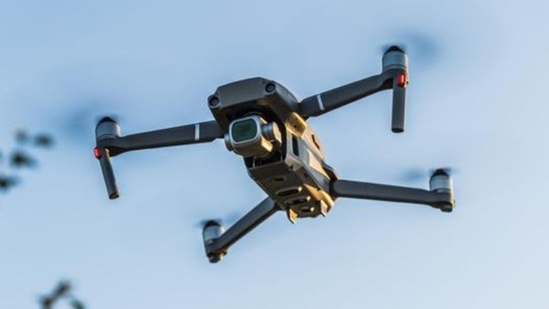
Aerial photography drones are flying over the hamlets in Cypress County this week. Photo: Cypress County

Drones taking aerial photography in Cypress County hamlets

Aug 1, 2024 | 5:27 PM

In the sky over Cypress County this week will be drones.

A contractor is taking aerial photos of the hamlets for the county to utilize in a variety of their departments.

Joe Cartwright, director of municipal services, said the utility group and fire services are just two groups that will utilize the pictures.

“It’s really just about every department within the county uses that aerial photography, for different services, different usage for our planning departments,” Cartwright said.

“It’s just about getting sort of accurate lines, understanding the topography and what’s there,” he added.

“The orthophotography is a great way to really understand what assets we have in the county.”

The aerial photo are an item budgeted to be done by Cypress County every three years.

A partnership with other municipalities and irrigation districts to utilize the same contractor is helping to keep costs down.

Cartwright said that price is close to $195,000 for this year, but is the most cost effective ways to get the desired final product.

“The Earth photography too, we get more of a three dimensional picture of things,” Cartwright said.

“We get the topography which is something you can’t necessarily get off of Google Earth, and that way we can also time stamp. So we know when the pictures were taken, they’re all consistently done at the same time.”

Cartwright said the ability to use drone aerial photography is significantly more cost effective than having airplanes doing flyovers to take the photos, which was the industry standard prior to the use of drones.