STAY INFORMED with the Daily CHAT News Today Newsletter.

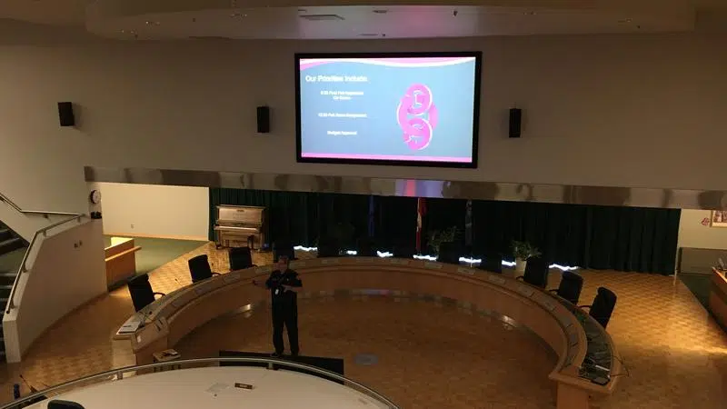
Fire Chief Brian Stauth discusses how Geographic Information Systems have helped the fire service with location selection and response times during a information session Wednesday afternoon - Photo by Charles Lefebvre
Response times

Fire services say Geographic Information Systems helped improve response times

Nov 13, 2019 | 4:28 PM

MEDICINE HAT, AB — The City of Medicine Hat celebrated the many uses of geographic information systems (GIS) on Wednesday.

November 13 has been marked as Geographic Information Systems Day worldwide since 1999. The city hosted their version of the day in council chambers, with several departments giving presentations, showing how they used GIS in their operations.

The Medicine Hat Fire Service is one of the organizations that has benefited from the system

“GIS has been a real bonus for us,” said Fire Chief Brian Stauth. “We’ve used it for all of our station modelling that we’ve done, to relocate Fire Station 1 and Fire Station 2. Without GIS, it would have been difficult to accurately model what we needed to do as far as locations go.”

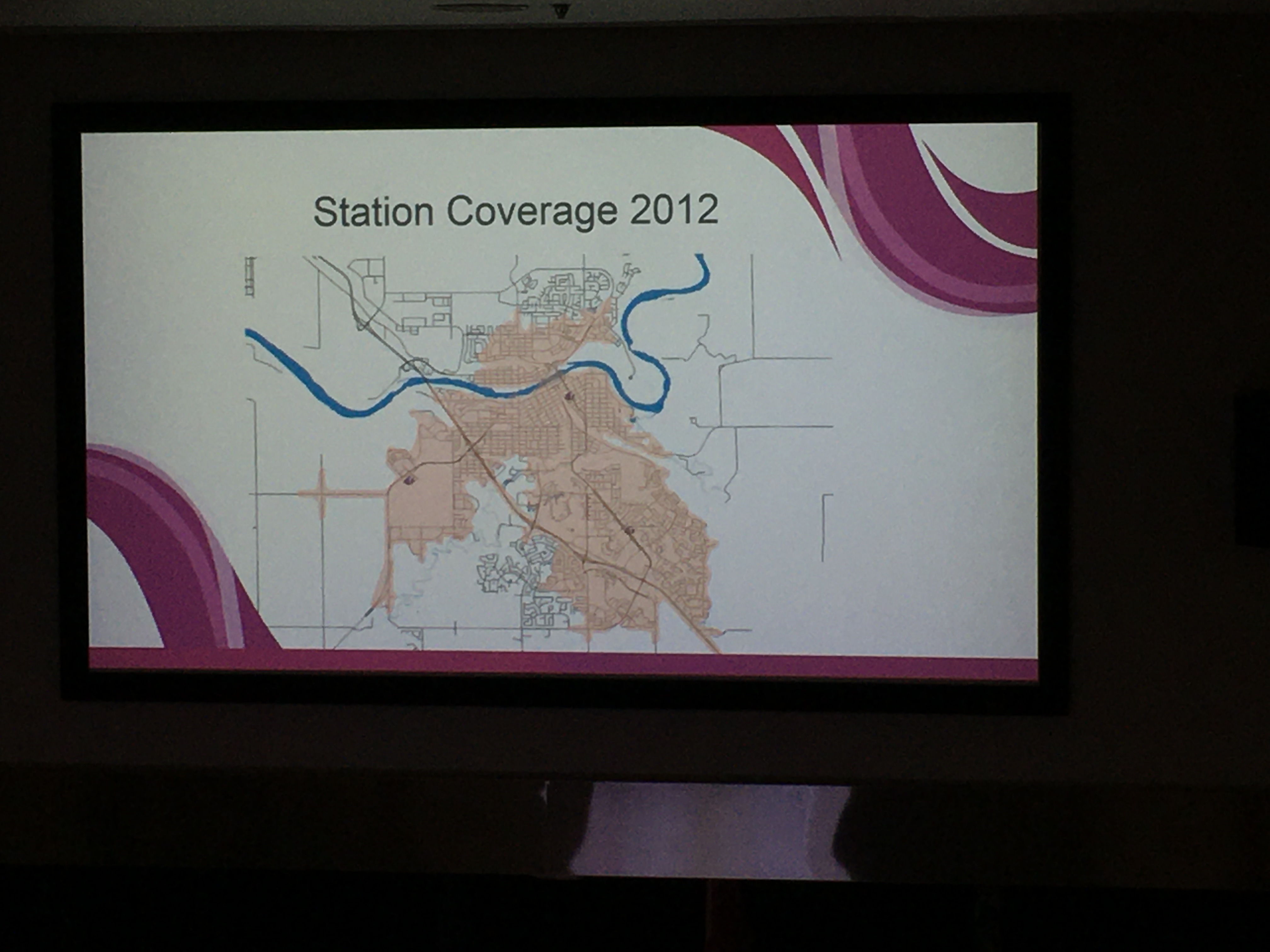
Stauth said the Fire Services began using GIS in 2010 to examine their response times for the city as it grew. They noticed there were areas of the city where they couldn’t respond to in six minutes and 20 seconds, their ideal response time.

Using fire response data from five years, they mapped out the data, and used GIS to map the routes they used to respond to fires.

As a result of the data, they decided to move locations of two of their fire stations. One station moved to Trans-Canada Way, while the other moved across the South Saskatchewan River to Parkview Drive.

A map showing fire station response times for firefighters throughout the city in 2012 – Photo by Charles Lefebvre

Stauth says as a result of GIS, response times for all areas of the city have improved dramatically.

“When we started this process, we had about 65 per cent of our residents in our 6:20 response coverage capability, and now we have 95 per cent,” he said. “And even the five per cent that are outside that response coverage are only seconds outside.”

Stauth added the increase coverage is essential in an emergency.

“Fire and response times are critical,” he said. “The faster we can get there, the greater the opportunity we have for saving lives and reducing injuries. It’s a big deal for us.”

In addition to the Medicine Hat Fire Service, GIS is used by other city departments. Transit uses the system for route planning, and the Parks and Recreation department uses it for tree inventory in Medicine Hat.