CLARKWATCH: Follow news and updates regarding sanctions on Mayor Clark.

Snowpack at average levels in Alberta

Mar 11, 2019 | 4:49 PM


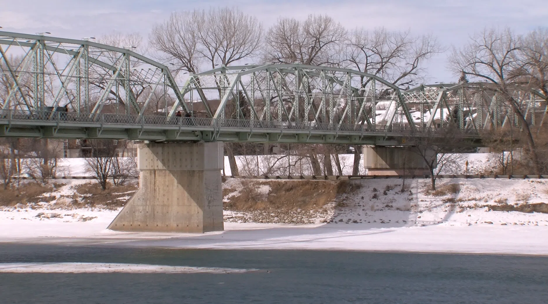
MEDICINE HAT, AB — As the snow starts melting, river forecasters in Alberta are keeping an eye on the amount of snowpack in Alberta.

The number is one part of determining the potential impact of flooding in Alberta.

However, despite the cold February, the snowpack in Alberta currently sits at an average level, including in the areas of the Bow and Old Man River basins, which converge and form the South Saskatchewan River.

“What I have is 20 to 30 millimetres of snow water equivalent in the plains,” says Nadia Kovachis-Watson, a river forecaster with Alberta Environment and Parks, over the phone from Edmonton. “That would be about average for those areas.”

Kovachis-Watson says the reason for the snow pack amount being average, compared to an above-average year in 2018, is due to the earliest snow of the winter already melting.

She adds forecasters are looking now at the speed of the remaining melt to determine flooding risk.

“It’s really the weather for the next coming months that will tell how quickly things warm up,” she said. “If it’s a sustained warm, if snow melt is just slow and drawn out, we won’t see really significant response. But last year, we had really cold temperatures that warmed rapidly, and that’s where we saw a quicker snow melt.”

Kovachis-Watson says forecasters will also be keeping an eye on precipitation levels in the coming months, noting that has a large impact on spring flooding.